
Earth observation satellites
Earth observation satellites provide data on oceans, ice, land environments, and the atmosphere. They are useful for monitoring and protecting our environment and planet and for helping us better understand them. They help us manage our resources and ensure the safety of Canadians. Experts use satellite images to support humanitarian efforts and sustainable development around the world.
What's new?


The various Earth observation satellites
Active Canadian satellite missions
-
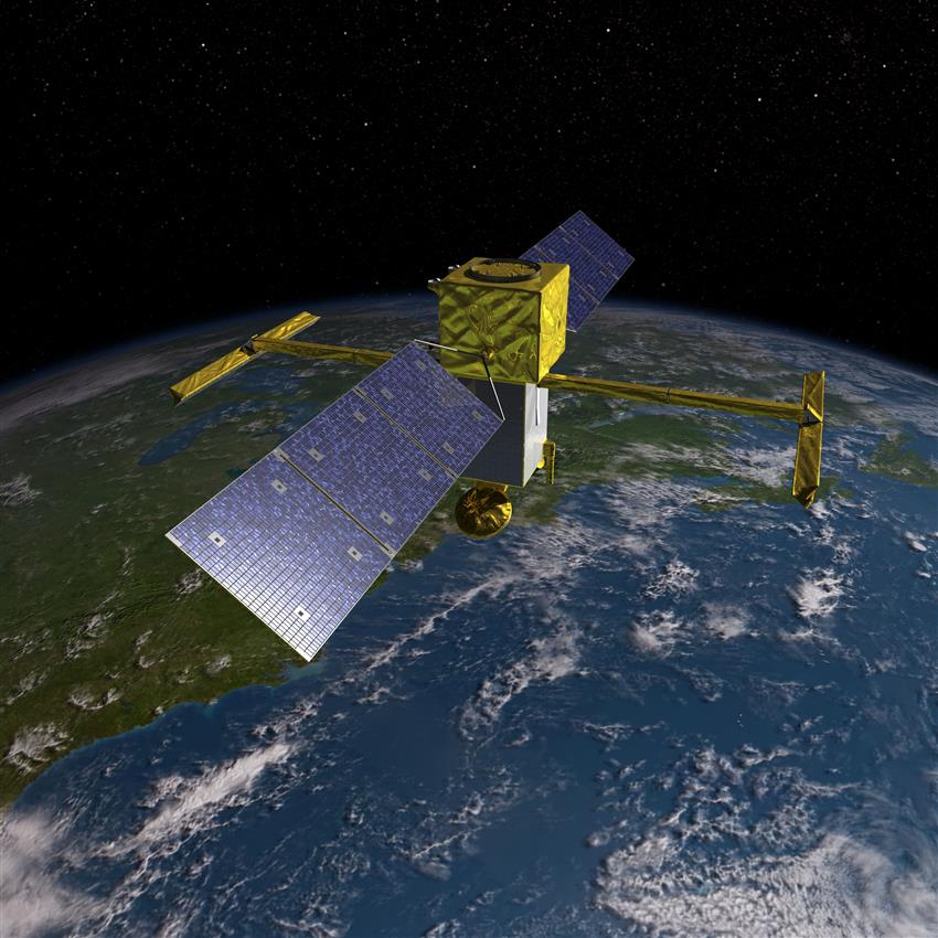
RADARSAT Constellation Mission
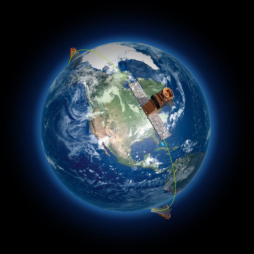
Characteristics: Canadian satellites
The RADARSAT Constellation Mission was launched on . It is Canada's third generation of Earth observation satellites. Three identical satellites work together. They bring solutions to key challenges for:
- maritime surveillance
- disaster management
- ecosystem monitoring
-
RADARSAT-2
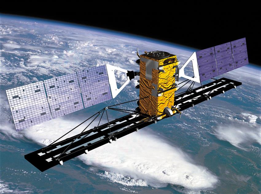
Characteristics: Canadian satellite
MDA's commercial radar satellite was launched in . It facilitates:
- ice, marine, and environmental monitoring
- disaster and resource management
-
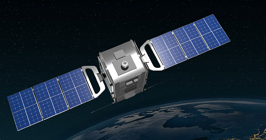
SCISAT

Characteristics: Canadian satellite
SCISAT was launched on . It is used to monitor the ozone layer. In particular, it enables observation of the changes occurring over Canada and the Arctic.
It passes over:
- polar regions
- tropical zones
- mid-latitude locations
Canadian satellite missions in development
-
HAWC

Characteristics: Canadian satellite and instruments
The Canadian HAWC, is slated to launch in . The three instruments to be developed are based on scientific ideas from Canadian universities.
HAWC will provide new, high-quality data to improve weather predictions, and climate and air quality models.
-
WildFireSat
Characteristics: Canadian satellite constellation
The WildFireSat mission is slated to launch in . It is specifically designed to monitor all active wildfires across Canada, on a daily basis.
It will make it possible to:
- anticipate and understand wildfire behaviour and determine which wildfires are high risk and should therefore be prioritized
- obtain data on smoke and air quality
Active international satellite missions to which Canada has contributed
-
Odin

Characteristics: Canadian instrument
The Swedish satellite Odin was launched on . Since then, it has been collecting data for studying climate and atmospheric changes. Canada's contribution is the OSRIS instrument, which measures atmospheric composition, focusing mainly on the upper atmosphere. It provides data on:
- ozone depletion
- concentrations of aerosols and nitrogen dioxide
-
SMAP

Characteristics: Canadian contribution
NASA's Soil Moisture Active Passive (SMAP) mission was launched on . Canada contributed by validating measurements of the soil moisture and seasonal freeze/thaw cycle, with the use of instruments collecting data on the ground, in the air and in space. The SMAP mission helps:
- improve climate and weather forecasts
- monitor droughts and better predict flooding
-
SMOS
Characteristics: Canadian contribution
The European Space Agency's (ESA) Soil Moisture and Ocean Salinity (SMOS) mission, the first satellite designed to both map sea surface salinity and monitor soil moisture, was launched on .
Thanks to Canada's unique status as the only non-European cooperating state of the ESA, the Canadian Space Agency's (CSA) contribution to ESA's Earth Observation Envelope Program (now called the Future EO Program) has enabled Canadian companies to actively contribute advanced technology for demonstration on this satellite. The CSA has also supported the use of SMOS data to address science questions and to develop Earth observation applications.
The data provided helps us better understand:
- how water moves across the planet
- how our climate systems work
-
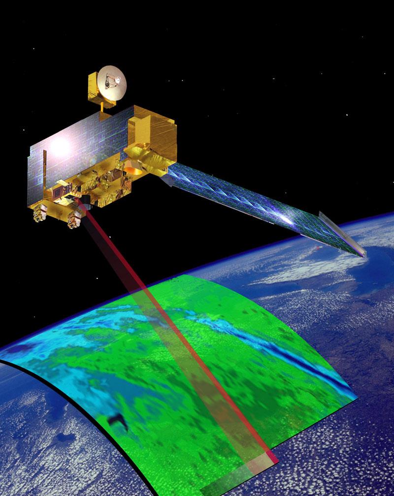
SWOT
Characteristics: Canadian instrument
The SWOT mission led by NASA and the Centre national d'études spatiales (France's space agency) was launched on . Canada provided a key component of the wide-swath radar instrument, enabling the satellite to collect precise water measurements.
SWOT provides detailed information on water by:
- surveying 90% of Earth's surface water
- observing the fine details of ocean surface topography
- measuring how water elevation of lakes, rivers and reservoirs change over time
Inactive Canadian satellite missions, instruments and components
-
Terra – MOPITT
Characteristics: Canadian instrument
NASA's Terra satellite was launched on . It carries five instruments that observe Earth's atmosphere, ocean, land, snow and ice, and energy budget. The Canadian contribution was the MOPITT instrument, which scanned Earth's atmosphere to measure carbon monoxide (concentrations, distribution, transport). After 25 years in space, exceeding its operational lifespan by more than 20 years, the MOPITT instrument was turned off on . NASA's Terra satellite decommissioning is planned for .
The instrument's data will continue to be used to:
- forecast the long-term effects of air pollution
- advance our knowledge of global air pollution transport, including over the North
- orient the assessment and implementation of short-term pollution controls
-
CloudSat

Characteristics: Canadian elements
NASA's CloudSat mission was launched on , and was part of a constellation of satellites called A-train. CloudSat provided the first-ever comprehensive three-dimensional study of clouds, gathering data on clouds' structure, occurrence, and volume. It improved our understanding of clouds and their effect on climate and weather. Some of its key findings on the occurrence of thin ice clouds, will be the focus of a dedicated CSA mission called HAWC.
On CloudSat, Canada provided:
- the extended interaction klystrons, which were the amplifier used to generate a pulse intense enough to detect clouds from space
- the Radio Frequency Electronics Subsystem, a central component of the receiver that was used to receive and amplify the radar signal return
- scientific participation in calibration activities
-
Envisat
Characteristics: Canadian contribution
Launched on , the Envisat satellite, led by ESA, was the largest Earth observation satellite ever built at the time. The Government of Canada contributed to Envisat through the Canada–ESA Cooperation Agreement, allowing Canadian companies to develop instruments and components onboard the satellite.
Envisat's data helped:
- understand the components of the Earth system (e.g., oceans, continents, flora, fauna, layers of the atmosphere)
- make informed decisions about how to protect the environment
-
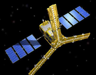
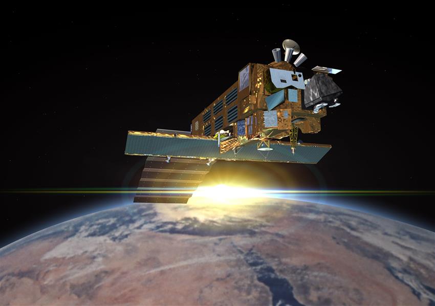
RADARSAT-1

Characteristics: Canadian satellite
Launched on , RADARSAT-1 was a sophisticated Earth observation satellite developed by Canada. It was used to monitor environmental changes and Earth's natural resources. It is in part thanks to RADARSAT-1 that Canada has become a world leader in the processing of satellite remote sensing data.
With its powerful synthetic aperture radar, RADARSAT-1 was able to produce images of Earth:
- day or night
- in all weather conditions
- through cloud cover, smoke, and fog
Satellite Art: celebrating Canada's beauty from space
Rediscover the majesty of Canada's vast and varied landscapes through the eyes of those who use satellites to explore Earth.