
What is the RCM?
- Launch date:
- Status: Active
The RADARSAT Constellation Mission (RCM) is Canada's third generation of Earth observation satellites. The three identical satellites work together to bring solutions to key challenges for Canadians.
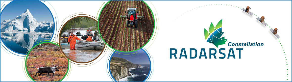
The RCM uses a trio of satellites to take daily scans of our country and its waters, collecting invaluable information. This important data helps captains safely navigate through Arctic waters, farmers maximize their crop yields, first responders save lives, and more. (Credit: Canadian Space Agency)
Three identical satellites working together
The evolution of the RADARSAT program, the RCM includes a trio of Earth observation satellites, capable of scanning Earth day or night and in any weather conditions. The three-satellite configuration allows for daily revisits of Canada's vast territory and maritime approaches, as well as daily access to 90% of the world's surface and the Arctic up to four times a day.

Text version - of an infographic about an overview of the RADARSAT Constellation Mission
This visual provides an overview of the RCM. (Credit : Canadian Space Agency)
With its capabilities distributed across several small satellites rather than a single large satellite, the RCM boasts a robust, flexible system that costs less to launch and operate.
Learn more about the RCM's components and specifications.
Providing solutions for Canadians
Over a dozen federal government departments use RADARSAT data to deliver important services to Canadians. The RCM is ensuring the ongoing availability of this data so that the Government of Canada can continue to serve Canadians.
The RCM is designed to provide effective solutions in three main areas:
- maritime surveillance (ice, surface wind, oil pollution and ship monitoring)
- disaster management (mitigation, warning, response and recovery)
- ecosystem monitoring (agriculture, wetlands, forestry and coastal change monitoring)

RCM data helps Canadian farmers better manage their crops.
In addition to these key areas, there are expected to be a wide range of ad hoc uses of RCM data in many different applications within the public and private sectors, both in Canada and internationally.
For example, while the RCM was initially designed to focus on maritime security requirements, it is dramatically enhancing land security, particularly in the Arctic. The system offers up to four passes per day in Canada's far north, and several passes per day over the Northwest Passage.
The constellation model allows for a more frequent revisit of the same area. This opens the door to a range of applications that are based on regular collection of data and creation of composite images that highlight changes in the same area over time. Such applications are particularly useful for monitoring:
- impacts of climate change
- land use evolution
- coastal change
- urban subsidence
- and even human impacts on local environments
Images of the RCM
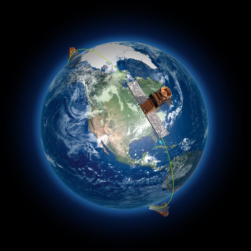
The three RCM satellites are evenly spaced on the same orbital plane at an altitude of 600 km. (Credit: Canadian Space Agency)

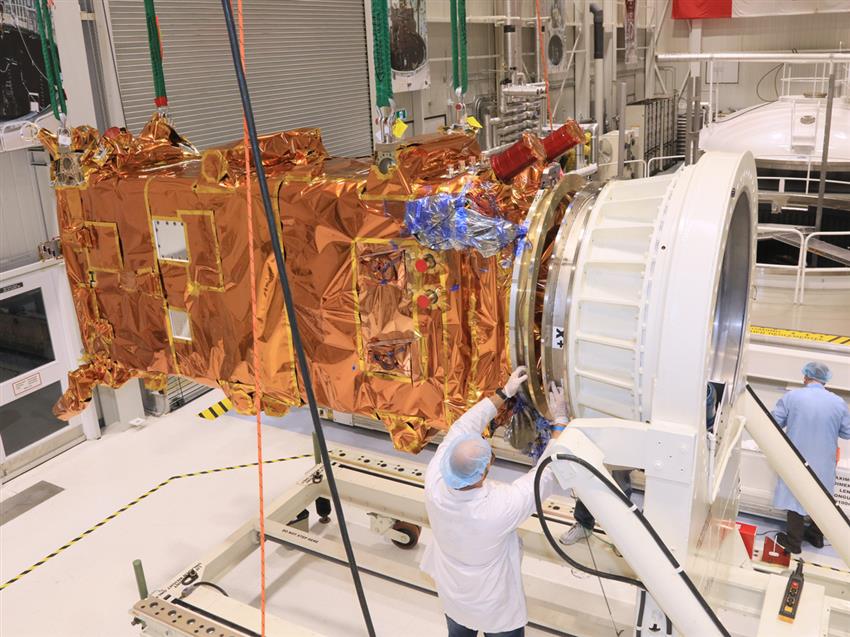
The first RCM satellite being transferred to the thermal vacuum chamber for testing at the David Florida Laboratory. (Credit: Canadian Space Agency)

RCM spacecraft are prepared for vibration testing in the MDA facilities. (Credit: Canadian Space Agency)
The third RCM spacecraft is about to be inserted in a thermal vacuum chamber for testing at the David Florida Laboratory. (Credit: John A. Brebner)
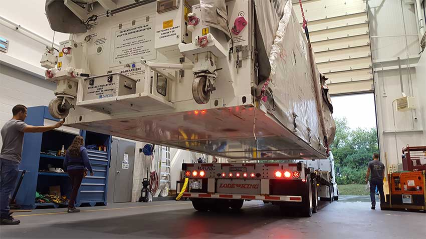
The third RCM spacecraft, in its shipping container, is carefully lowered onto the platform of the delivery truck to be transported to Vandenberg, California, in preparation for the launch. (Credit: Canadian Space Agency)