Managing crops sustainably with RADARSAT data

I am Tony Balkwill, a farmer and a certified crop advisor, based out of Southern Ontario. I come from a multi-generation farming family. I also own an agronomy consulting business – NithField Advanced Agronomy. My main focus is on crop and soil science. We help clients find ways to use satellite-based products such as RADARSAT data to make more effective use of their land. About 75% of my business is consulting for a wide range of customers who together operate 50,000 acres [over 200 km²] worth of farmland. I spend the rest of my time operating a 600-acre farm, which I own and co-manage with my wife. Being a farmer myself gives me more credibility and makes me a better consultant. Conversely, my consulting work makes me a better farmer.
Game-changing data
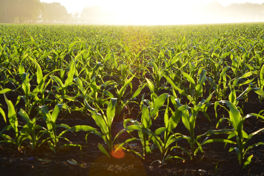
By monitoring moisture levels in the top few centimetres of soil, RADARSAT satellites help farmers like Tony evaluate soil and crop properties. This enables them to grow more crops while using less energy and potential pollutants.
I have been using RADARSAT imagery for the last three to four years, to help clients manage their crops. Used properly, satellite data can be a game changer. It can provide in-depth information about everything from crop characteristics to soil moisture.
Boosting productivity

Satellite data enables Tony to evaluate field conditions without having to physically inspect the entire area. (Credit: Tony Balkwill)
The key criteria governing the use of satellite data are timeliness and affordability. RADARSAT data in particular is accurate and efficient. It boosts productivity, as it enables farmers to assess and manage field conditions without having to conduct time-consuming manual inspections. But it takes a skilled operator to properly leverage the technology. That's where consultants can help, particularly in the case of smaller farming operations, which don't have the resources to develop the skills internally. The market will almost certainly grow in the coming years as satellite and other aerial data become more affordable.
Tony Balkwill at a glance

Credit: Canadian Space Agency