
Flooded farm fields captured by the RADARSAT Constellation Mission
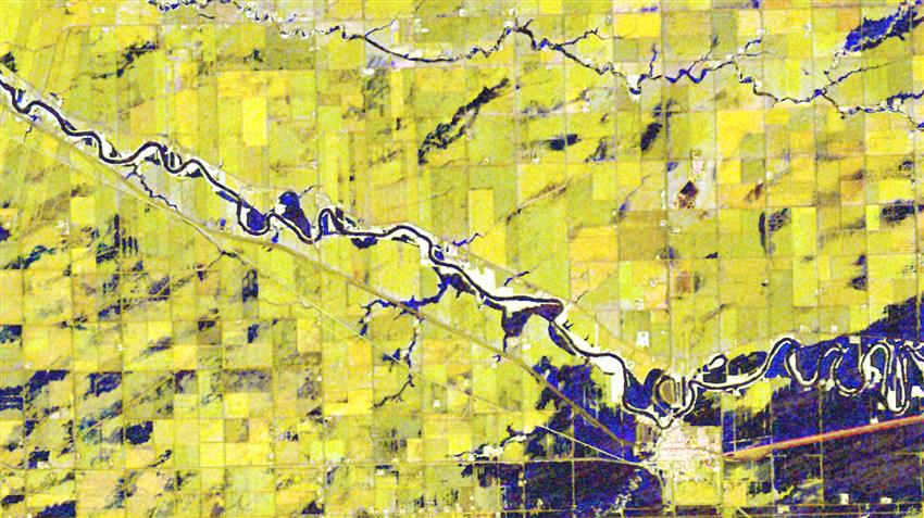
2022-10-21 – This RCM satellite image acquired in May 2022 shows farm fields in Manitoba, several of which were affected by flooding. (Credit: RADARSAT Constellation Mission imagery © Government of Canada [2022]. RADARSAT is an official mark of the Canadian Space Agency. Data processed by Dromadaire Géo-Innovations)
File size: 0.89 MB
Image size: 2010 x 1130 pixels
Resolution: 72 dpi
Image date: July 14, 2022
- Date modified: