
Early summer sea ice movement in Nunavut
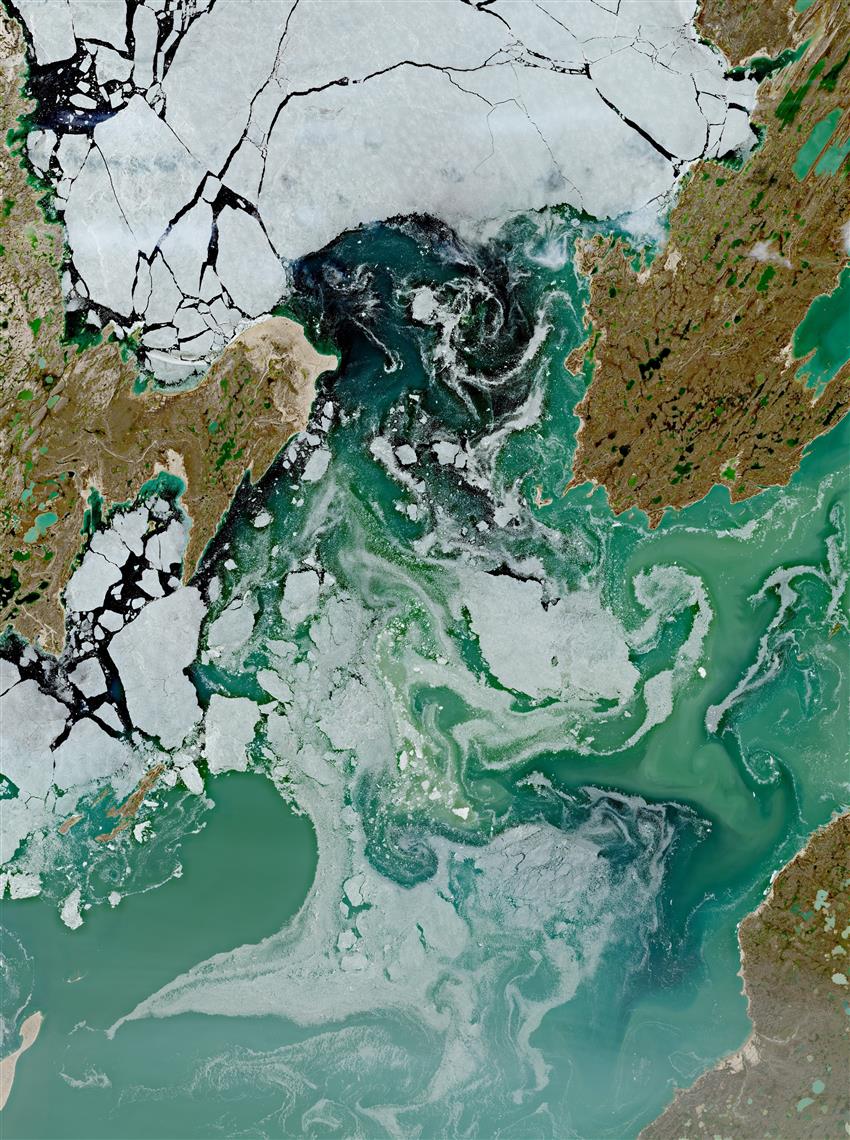
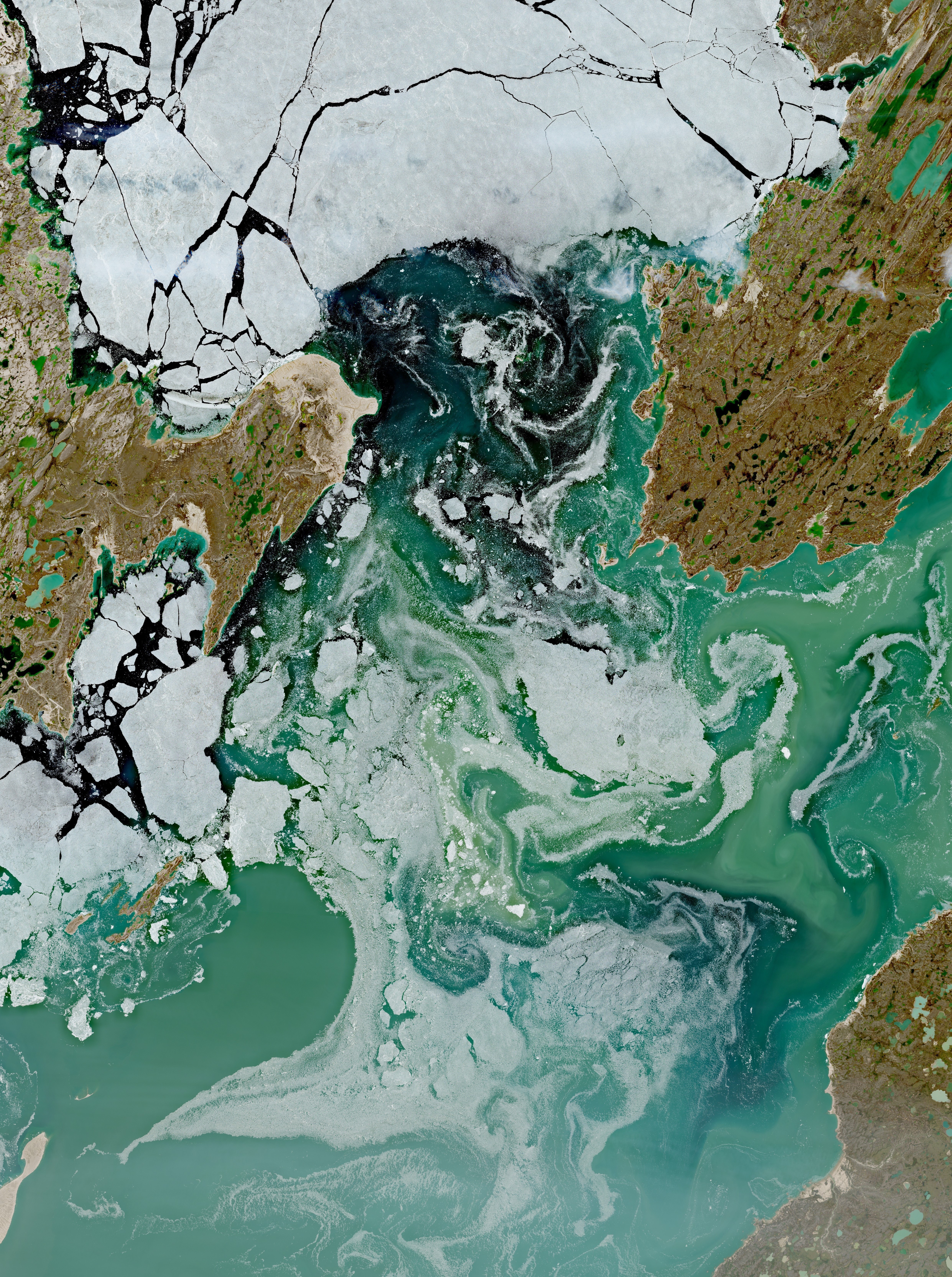
Satellite image of St. Roch Basin and Rasmussen Basin in Nunavut, capturing drift of deteriorating sea ice through Rae Strait. The turbidity patterns are formed by a myriad of fractured ice floes and ocean current activity, highlighting the dynamic nature of the polar marine environment during the brief summer period.
The community of Gjoa Haven (far left) is on the southeast part of King William Island, adjacent to Rasmussen Basin. (Credit: ESA. Sentinel-2 data.)
File size: 13.64 MB
Image size: 4965 x 6661 pixels
Resolution: 96 dpi
Image date: July 10, 2026
Useful link(s)
- Date modified: