
SWOT mission – Fraser River Basin
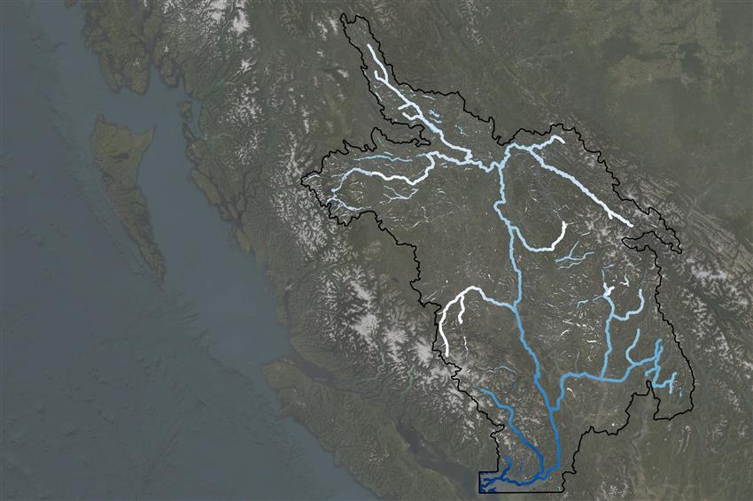
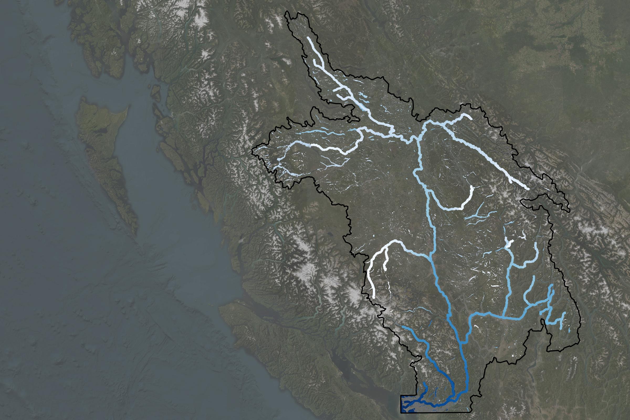
Satellite image of the Fraser River Basin.
The SWOT satellite measures water elevations, providing key insights for public safety, ecosystems, and water resource management across much of British Columbia. (Credit: Canadian Space Agency, contains SWOT data processed by ASL)
File size: 0.47 MB
Image size: 2400 x 1600 pixels
Resolution: 300 dpi
Image date: August 1, 2025
Useful link(s)
- Date modified: