
SWOT mission – Ice cover on Kluane Lake
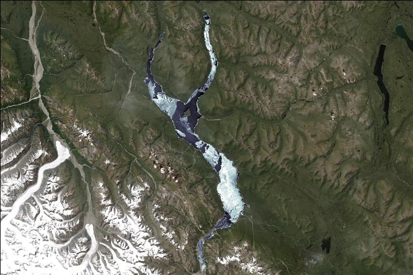
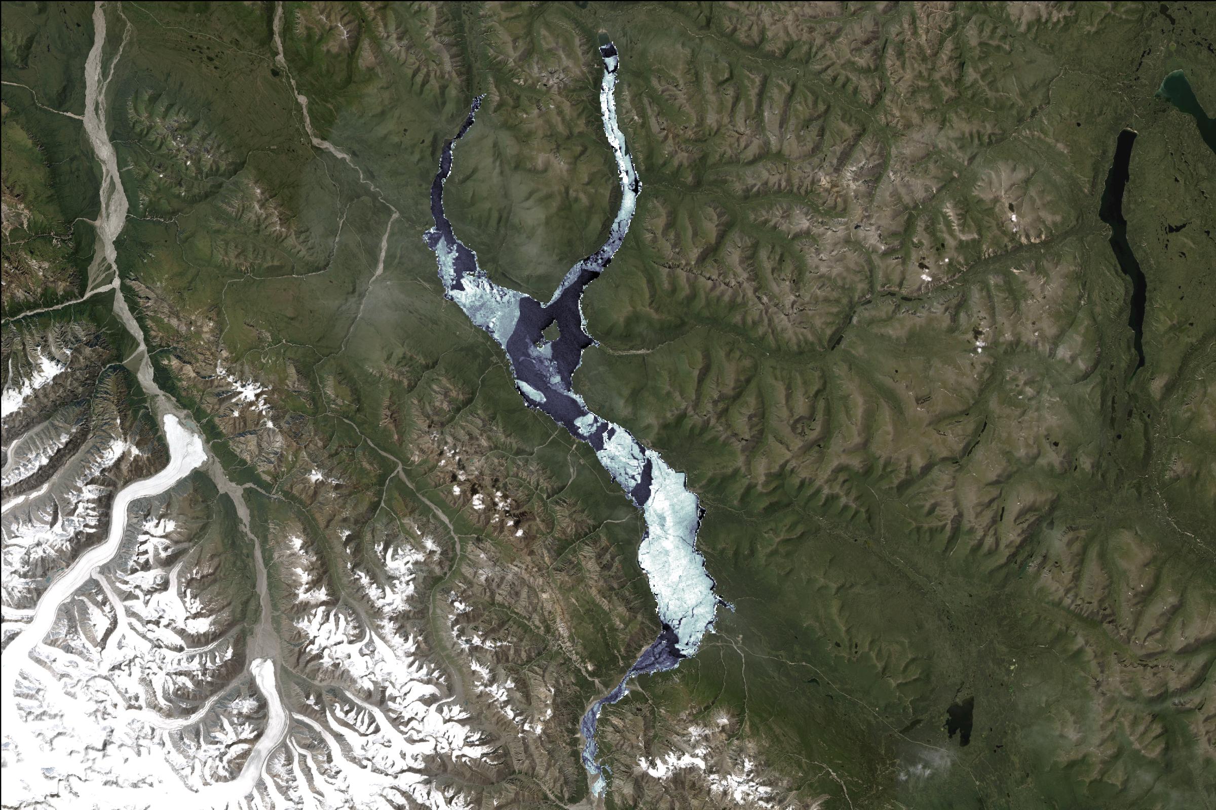
Satellite image capturing the melting ice on Kluane Lake in Yukon.
Although the SWOT satellite was mainly developed to track variations in water surface elevation, its radar data can also detect ice. This enables a broader range of research applications. (Credit: Canadian Space Agency, contains SWOT data processed by ASL)
File size: 0.61 MB
Image size: 2400 x 1600 pixels
Resolution: 300 dpi
Image date: May 26, 2023
Useful link(s)
- Date modified: