
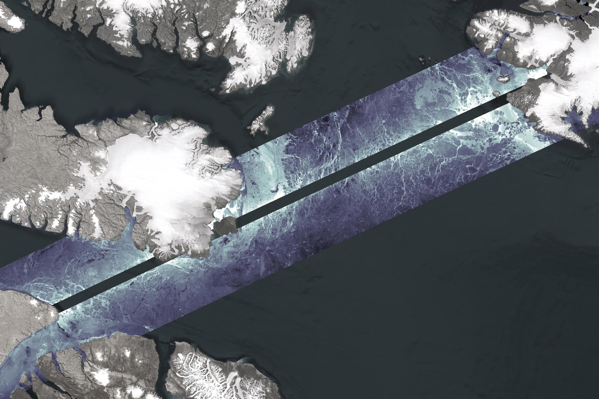
SWOT mission – Ice in the Baffin Bay

This satellite image was captured over Baffin Bay.
The two swaths represent the satellite overpass: dark grey shows highest backscatter for ice, while white shows lowest backscatter for water.
The SWOT satellite monitors sea ice, a key driver of ocean circulation that Arctic warming disrupts, affecting heat, oxygen, and nutrient flow (Credit: Canadian Space Agency, contains SWOT data processed by ASL)
File size: 0.42 MB
Image size: 2400 x 1600 pixels
Resolution: 300 dpi
Image date: January 24, 2025
Useful link(s)
- Date modified: