
Data Compendium - Radar imaging over the polar regions
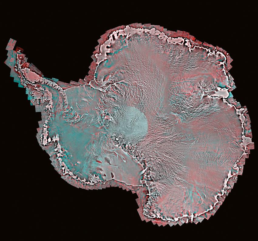
2016-04-21 - First high resolution mosaic of the Antarctic continent produced by RADARSAT-2 during the International Polar Year (2007). Data available through the Polar Data Catalogue. (Credit: RADARSAT-2 Data and products © MacDonald, Dettwiler and Associates Ltd. (2008) All rights reserved. RADARSAT is an official mark of the Canadian Space Agency)
File size: 2.9 MB
Image size: 1900 x 1772 pixels
Resolution: 96 dpi
- Date modified: