
Greater Montreal region by the RADARSAT Constellation Mission

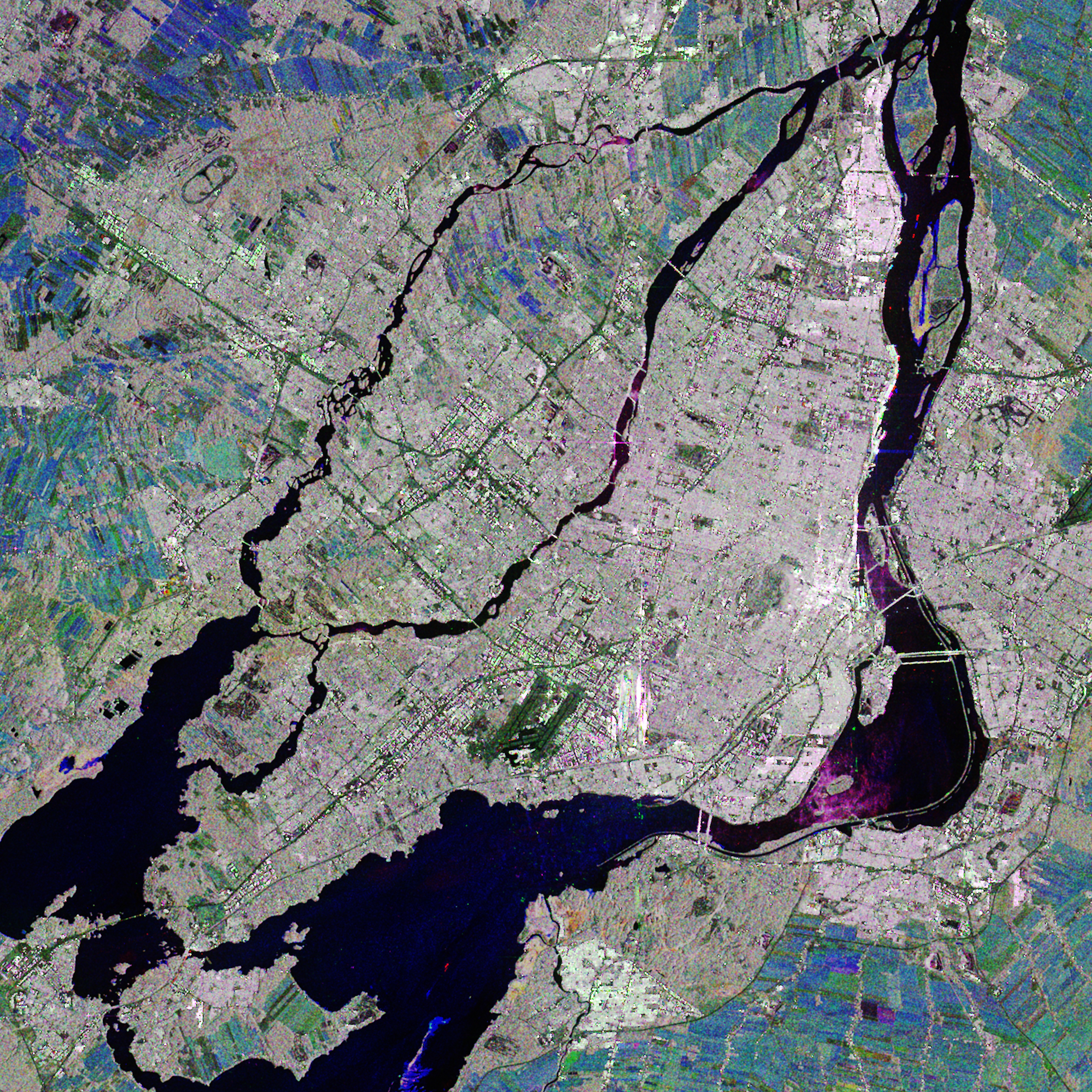
2021-06-22 - This image of the Greater Montreal region is a compilation of images acquired between May and September 2020. The image also includes the Lower Laurentians (north of Laval) and part of the Montérégie region (south of Montreal).
Dark colours show smooth surfaces (water, highways, airport runways); pale and grey indicate developed areas (downtown and the suburbs); brown and green tints are forested areas; and blue-green represents farmland. (Credit: RADARSAT Constellation Mission imagery © Government of Canada (2020). RADARSAT is an official mark of the Canadian Space Agency. Value-added product generated by © Effigis)
File size: 36.8 MB
Image size: 6000 x 6000 pixels
Resolution: 300 dpi
Useful link(s)
Copyright / Permission to reproduce
- Date modified: